Our Research Areas

Subduction Zone Dynamics
Subduction zones host the world’s largest earthquakes, most of the most vigorous volcanic eruptions, and are home for many of the planet’s populations at great risk from natural disasters. They are also where material from the Earth’s surface cycles to the interior, controlling very long-term balances of water, carbon, and metamorphic or hydrothermal cycles that produce the geologic record. At Cornell, we use the tools of seismology to understand the geodynamic, geochemical and geological processes at work here. Some recent and ongoing projects include:
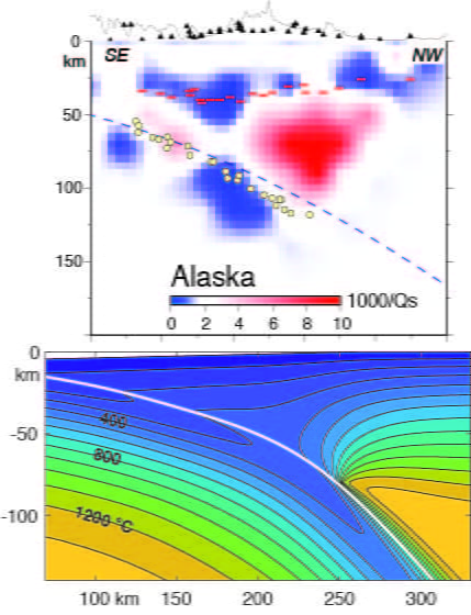
- Seismic attenuation imaging in subduction zones, ridges and elsewhere along with analytical work relating laboratory to field constraints on how attenuation constrains thermal structure and melt distribution.
- Imaging of sharp boundaries through mode-converted waves at both local and teleseismic scales, to provide insight into the physical environment where great earthquakes and aseismic slip events originate, and help understand where volatiles are released from subducted slabs from the surface to sub-arc depths.
- Using these techniques, ambient-noise tomography and other local-earthquake imaging to understand the deep plumbing of volcanoes and the tectonic framework that controls where and how they erupt.
- Developing data-driven geodynamic models to better understand the thermal structure of subduction zones and how rheology, water content, and shear heating interact.
- Exploration of the locations and nature of intermediate-depth earthquakes and their connections to thermal and petrologic processes in subducting plates.
All of these are studied regionally where the highest-quality data can be collected, and globally where systematics can be best understood. A big part of that effort has been to deploy dense seismometer arrays across critical regions.

Recent Field Seismology Projects in Subduction Zones
- CorNet / CUBO – a seismic network around the Cornell campus, deployed in tandem with the Cornell University Borehole Observatory a 3-km-deep test well for potential a deep enhanced geothermal system. The array provides a rare sample of seismicity in a continental interior and provides baseline data for future geothermal work.
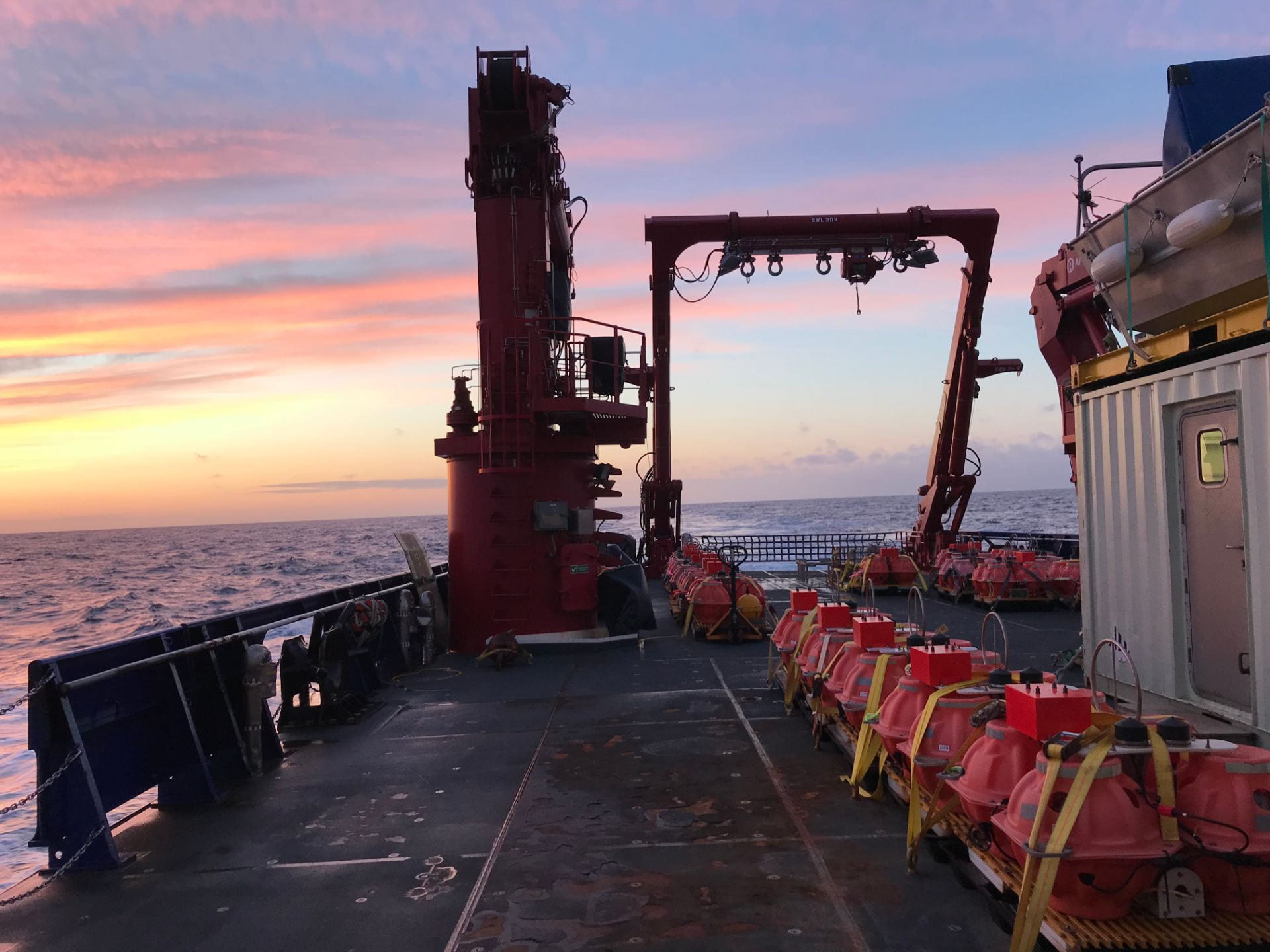
- AACSE – the Alaska Amphibious Community Seismic Experiment. We deploy onshore and on the sea floor a seismic array across the region that generated North America’s largest earthquake and the 20th century’s largest volcanic eruption, off the Alaska Peninsula.
- iMUSH – imaging Magma Under mount St. Helens. The most famous U.S. volcano is in the wrong place for a volcanic arc. This large multi-faceted project seeks to understand the deep plumbing that feeds eruptions here, and volcanoes generally. A National Geographic article shows how our results help understand why the volcano is in the wrong place.